Staubmarke (dustmark)

Staubmarke (dustmark)

Staubmarke (dustmark)

Staubmarke is a public space installation for the Drehmoment Festival in Stuttgart – a city affected by airborne particulate matter pollution.  Controversies between public health advocates, the city, and the local industry often manifest in disputes about proper methods of measurement and the veracity of citizen-collected data.

The project visualizes air pollution by calling attention to the patina on the city’s surfaces. The dustmarks are executed as reverse graffitis, making the accumulated pollution visible by partially removing it. By calling attention to dust as a material rather than an abstract value, the project contextualizes the sensor measurements with their physical basis.

Over the following months, the dustmarks will fade, as new dust will accumulate in the cleared areas of sign. Ultimately, the project is about the limits of objectivity – just as the dustmarks are no accurate representation of pollution exposure, the quantitative metrics are subject to political debates and at the same time only able to capture a limited aspect of the complex phenomenon of particulate matter.

Project website: http://dust.zone

In collaboration with Luftdaten.info, thanks to Lara Roth, Jan Lutz, Michael Saup, Pierre-Jean Gueno, Annekatrin Baumann/HLRS, Fa. Diezel

Operant Conditioning

Operant Conditioning

Operant Conditioning

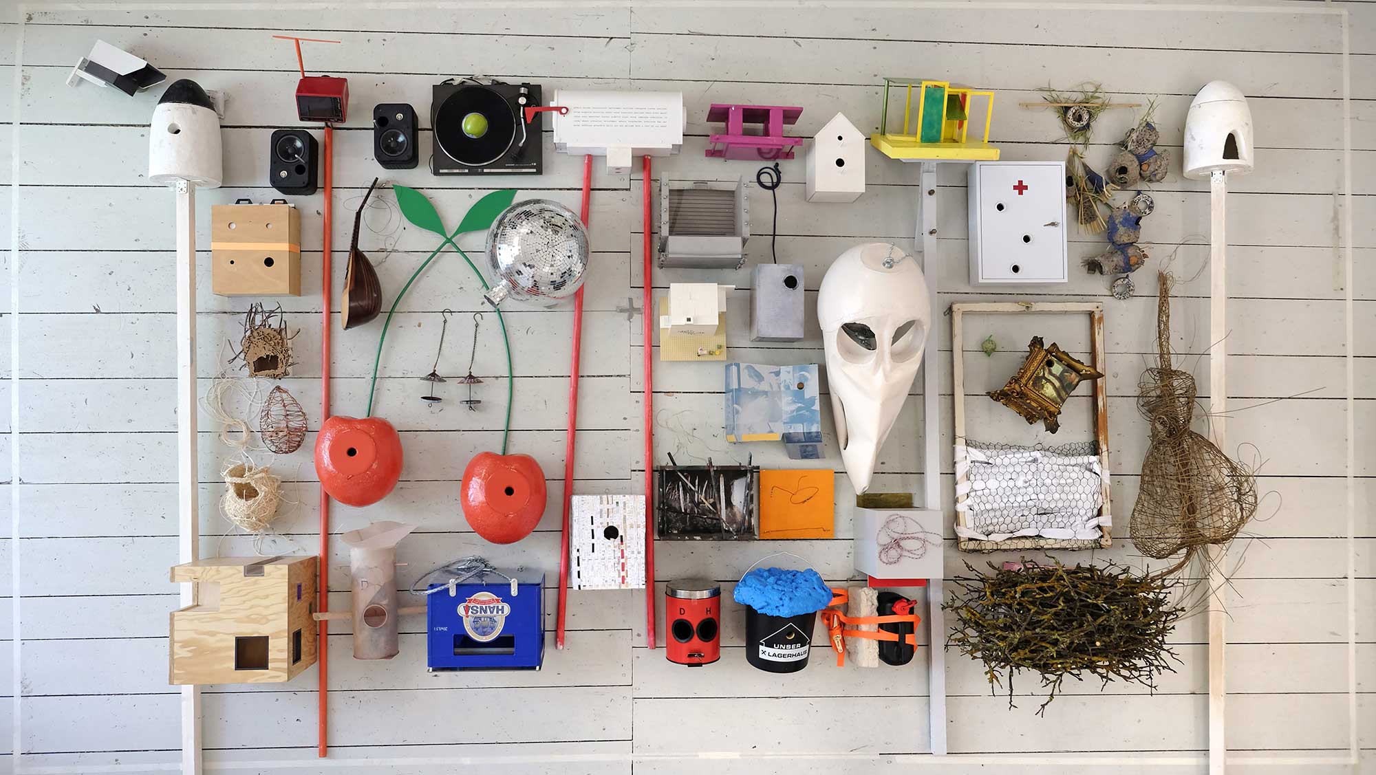
Following the commission to create a sculpture that serves as a birdhouse to be installed in a psychiatric hospital, the project reconstructs a so-called Skinner Box for ‘operant conditioning,’ referencing the dark history of psychiatry and the colloquial association (in German) between birds and psychiatric conditions. In his experiments, Psychologist Burrhus Frederic Skinner conceived of behavior as a mere function of external stimuli over which the subject’s will has no influence. He is best known for his conditioning of pigeons, which he trained to play ping pong or develop superstitious behavior. The implication was that with the appropriate stimuli and reinforcements, people could be programmed to adopt any desired behaviors. Our birdhouse is a reconstruction of a historic Skinner Box for pigeons. Here, however, it is not the birds that are conditioned. Instead, the birds condition their human feeders by triggering a visible signal when the birdhouse runs out of food.

The object was produced within the project For the Birds / Pour les oiseaux, a collective aeronautic sculpture garden displayed on the premises of the Landesklinikum Hollabrunn in 2019, commissioned by the Art in Public Space department of Lower Austria government and the socio-psychiatric department of the clinic Hollabrunn. For the Birds is a public space art project by Claudia Märzendorfer, produced with the support of Jeanette Pacher and Katrina Petter (KÖR Niederösterreich), including contributions by many international artists.

Concept and artistic direction: Azra Akšamija and Dietmar Offenhuber

Prototypung and fabrication: Natalie Bellefleur

Paper: Maps of Daesh

Paper: Maps of Daesh

Paper: Maps of Daesh

The Cartographic Warfare Surrounding Insurgent Statehood 

The ongoing Syrian civil war raises new cartographic challenges, including the ethical question of how the self-proclaimed Islamic State should be represented. States and news organizations face a conundrum: by mapping IS territory, they implicitly acknowledge its statehood. I investigate how different mapping methods carry different connotations for representing the strength and nature of the terror state, arguing that the statehood the IS is symbolically contested through cartographic choices that reflect the diverging interests of map makers.

Based on a comparative study, this article investigates the visual languages of IS sanctuary maps as published by news agencies, intelligence agencies, or circulated by the insurgents themselves. I argue that the statehood of territory held by the IS is symbolically contested through cartographic choices that reflect the diverging interests of the map makers. Beyond official representations, the article also considers the maps created by amateur conflict mappers and visual forensics experts, who extract and cross-reference information from social media including posted cell phone and drone footage, georeferenced tweets, and satellite images. I argue that the novel visual strategies developed by these practitioners for presenting visual evidence emphasize nonrepresentational aspects of cartography and represent a countermodel to established cartographic languages that follows an indexical rather than iconic or symbolic paradigm. 

Link    Pdf      Link to the Map Archive 

Pdf with original figures from the paper 

Tracings of original images by Azam Majooni